 I spent day two in Vancouver exploring the city on a bike rented from the kind folks at Reckless Bike Stores. I headed out from their shop and in just a few blocks I was on a bike path that would allow me to follow the shoreline for the next 20 miles or so. First it took me around False Creek with great views of the downtown residential and office towers. Then a a spin around the perimeter of Stanley Park.
 The first half of the seawall path around Stanley Park provided me with excellent views of a very active working harbor including; container ships, cruise ships, sailboats, power boats, tugs, barges, ferries, and my favorite float planes taking off and landing. Around the back side of the park I passed under the Lion's Gate suspension bridge and a more rugged section of the park with longer views out to the Strait of Georgia before the western suburbs swung into view. Besides the fabulous views a great feature of most all of these bike paths was the the bikes and pedestrians/joggers were on separate paths - making it much safer.
 After the park I followed the shoreline of those western suburbs passing a handful of beaches - taking a lunch break at the last of these - Spanish Bank - the low tide here creates massive shallow water perfect for the skimboarding.
After leaving the beaches behind I followed Marine drive up through the park land that seperates the University of British Columbia (where we were staying) from the rest of Vancouver. It felt good to climb a bit after the mostly flat seawall - it was also great to be off the path and on the road which meant I could finally ride fast - which I did over the next 10 miles with virtually no traffic lights.
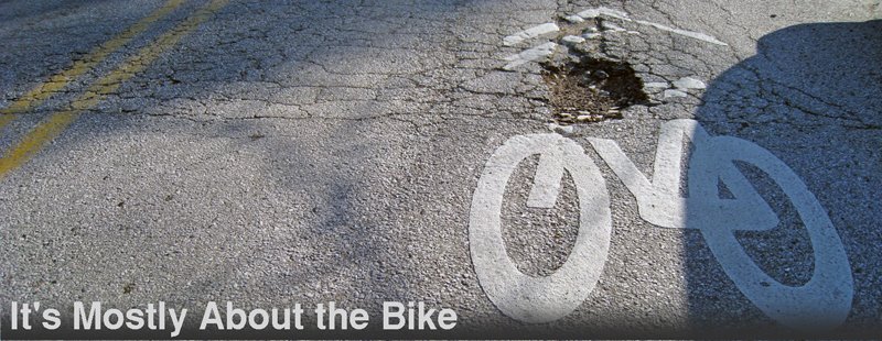
 After that I decided to try out some of the designated bike routes through the western suburbs. These routes are typically offset from the major arteries by a block or two with various measures taken to make them safer and more efficient for bike commuters - these measure seemed quite effective and I'll be missing them as I head back to commuting in Baltimore. Where these routes intersected major arteries car traffic was forced to turn right(to keep traffic low) and bikes are provided with a crosswalk button (to stop traffic and keep you going). At smaller intersections they have installed circles to slow the traffic or put in stop signs for the side streets. Since these routes don't always follow the same street all the way across the city - they each have their own names which appear on yellow signs on top of the street signs making it fairly easy to follow them.
 The Cypress St. route took me to the Ridgeway route which delivered me to the highest point in the city - Queen Elizabeth Park. From there I dropped back down to the water on the Ontario St. route. Realizing I still had a bit of time on my hands I followed the shore back out to Kitsilano Beach and relaxed in the sun for a while before returning the bike.
 More Photos HERE
And as a Slideshow HERE

42+ Miles on the day
1678 YTD


2 comments:
Amazing! I Googled the Marin Argenta and found your blog... I have one on loaner right now, from Reckless, while they are replacing my cassette and chain (Brodie Ronin). From the photo you posted it looks like I have the exact same bike. So light and responsive - and fast. Not used to such narrow tires, but I think I'm hooked now.
I almost forgot, I spent two years in Baltimore working at Hopkins; the ride up Greenmount to Towson will rank as one of my all time least favorite rides!!!
Post a Comment